Hiking to Mount Aeneas, Montana
What else would hikers want to do but to make sure they were able to experience the highest peak in the hiking-only Jewel Basin area of NW Montana? Mount Aeneas has that distinction with its 7,528 foot altitude. And what better time of year to do that hike than in August when the snow (most of it) has melted, the sun is shining, and the path is clear?
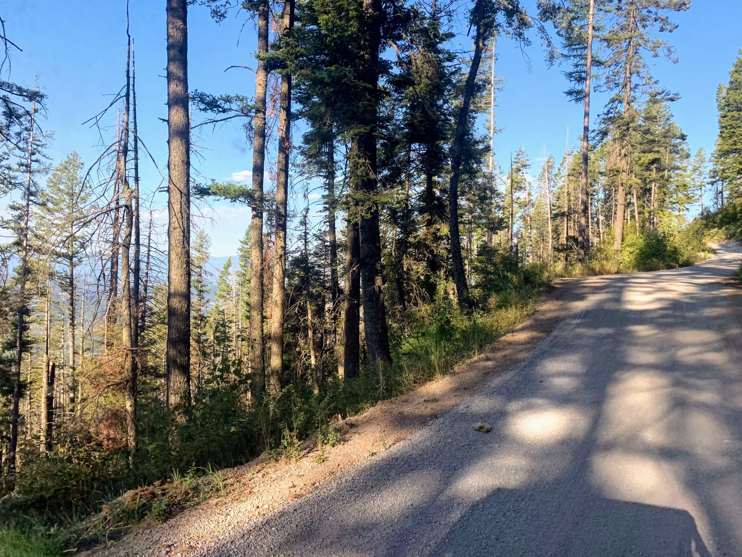
 We headed out early on a workday for the trip to the trailhead. If you’ve never been to the Camp Misery trailhead, that can be an experience all by itself! You will need to take Jewel Basin Road (No. 5392) for about 7 miles. The road is a relatively narrow sometimes windy and washboard-y gravel road that has a few areas with drop-offs and no guard rails. Put that together with a bunch of blind corners, and you could have a recipe for disaster if you’re not careful. So go slow!
Once you’ve arrived at Camp Misery, used the vault toilet, and got your gear ready to go, there are several ways you could head, but here’s what we did. We headed to the left of the trail map display, and took Trail #8 – Noisy Notch Trail, until we got to Trail #68, Misery Cutoff. Then it was on to Alpine Trail #7 and then we connected with the Mount Aeneas trail, #717. We took that trail all the way to the top then walked along the ridge to the Summit of Mount Aeneas, and then headed down around Picnic Lakes, and back to trail #68.
So how was the trip? Amazing! The entire loop took us about 4 hours to complete, but it would be faster if you didn’t stop to take photos, gawk at the views, or sit and have lunch at Picnic Lake. The way up to the summit was mostly uphill, but it wasn’t very steep. The elevation gain totaled about 1800 feet, and the walk was totally worth it.
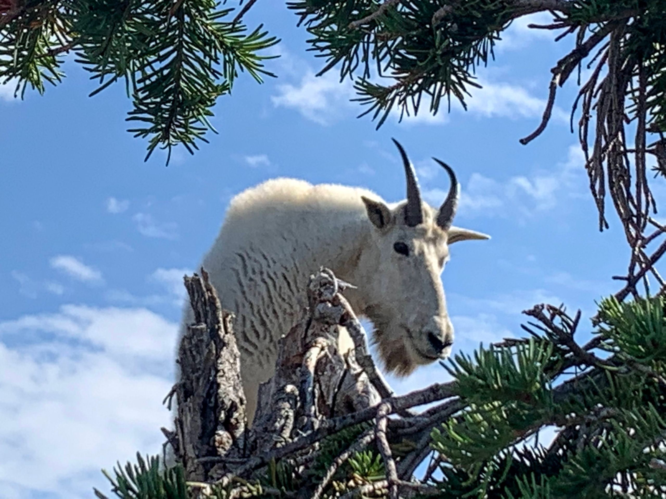
 As soon as we arrived at the top (not the summit, but the spot where you have to walk along the ridge for a while) we saw a mountain goat in the distance that seemed to be coming towards us. Mountain goats live in alpine and subalpine areas and can be found above the tree line during the summer. So we saw this mountain goat coming towards us along the trail, and then he disappeared. We figured he had wandered down the side of the mountain… until my husband let me know he was on the other side of the boulder I was standing near. So I looked up and had to take a few photos before moving away.
After taking some photos from that area, we followed the ridge line for a while. It was a bit tricky as there were areas with lots of broken rocks to walk on, but we made it without falling off the side of the mountain, and finally got to the actual peak of Mount Aeneas. The views were absolutely amazing, since we could see 360º of mountains, lakes, rivers, meadows and valley. So beautiful! Worth every uphill step.
And then we wandered down the trail, and continued to two lakes which were called the Picnic Lakes. We enjoyed a leisurely lunch, then packed up and continue to walk until we got back to trail #68, which led us to #7. Another half hour or so brought us back to our car.
So if you have any interest in hiking the tallest mountain in the Jewel Basin of Flathead County, Montana, DO IT! You won’t be sorry.
And for more of what you might see on the hike, check out the below video. And for more on Kalispell, see this link.